Seeing in Depth: What it Takes to Create Underwater Maps

COURTESY REEF SMART GUIDESPeter McDougall captures footage of a reef to make a 3D model.
If you’ve visited top dive destinations like Bonaire, the Florida Keys or the Cayman Islands, you’ve likely seen and used the work of Peter McDougall and his team of dive mappers. As co-owner of Reef Smart Guides, he helps create detailed, waterproof dive site maps that divers use to navigate underwater.
“I got into diving as a coral reef ecologist, and I was diving for research, mainly on shallow reefs in Barbados,” McDougall explains. “From there, I got into science communication, writing for nongovernmental organizations (NGOs).”
Those experiences helped lay the groundwork for McDougall’s mapping career of collecting information to tell the story of a reef. “I’m trying to work out how does the wall interact with the back reef or the lagoon behind it, and how does that lead to the creation of features like coral spurs, reef crests, walls and drop-off zones,” he says.
The job incorporates a mix of predive research and the use of in-water technology, but it also relies heavily on detail-oriented mappers getting in the water and surveying the site. McDougall’s team visits destinations and dives from recreational dive charters with the goal of mapping multiple sites. They may also work with local resorts to map house reefs.
“Our goal is to gather the information we need for the map within one single dive on a standard dive charter,” McDougall says.
Each diver on the team records different data. Some explore the site and note the locations and depths of specific features, such as coral heads, swim-throughs and ledges. Others carry a depth sounder that can measure depths and distances, like from a wall to a pinnacle. They’ve also incorporated photogrammetry to model reefs and wrecks.
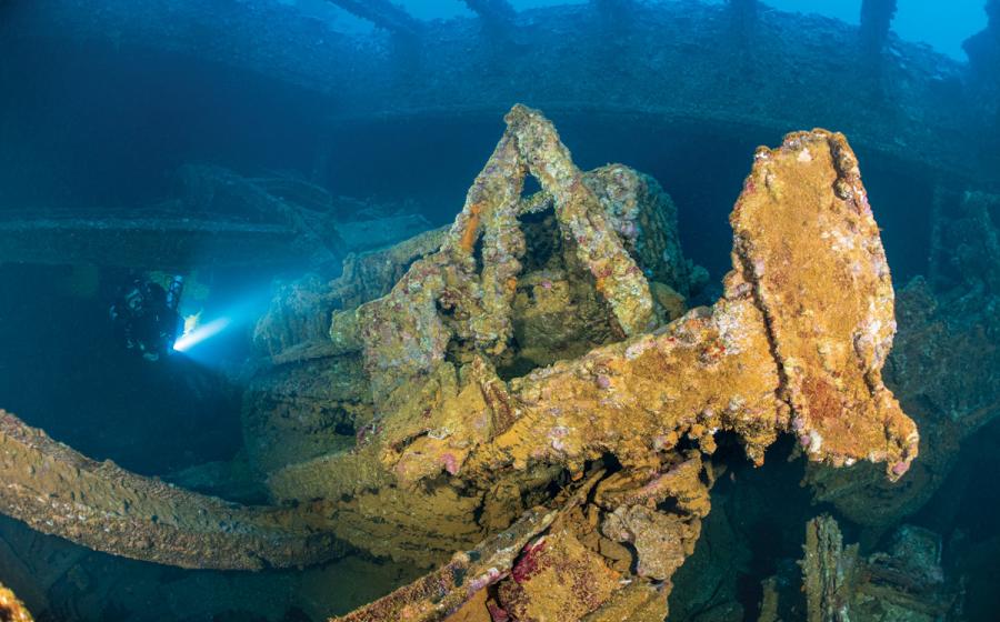
Photogrammetry is frequently used in underwater archeology. Put simply, it’s using two cameras set up stereoscopically to capture different angles—similar to your eyes—and canvass a site by taking many photos or videos, which a software then reconstructs into a 3D model.
Related Reading: How to Master Underwater Navigation and Dive Like a Pro
“We have a setup with stereoscopic GoPros about 2½ feet apart, pointed roughly 30 feet ahead,” McDougall says. “We strap that to a Scubajet underwater scooter, and that lets us cover the whole site and collect the images we need.”
Divers don’t need much more than an advanced openwater certification to do this job, and the most important skills are an eye for detail and an underlying drive to always get it right. “There’s not anything out of the ordinary about the diving we do; it’s the specialized tools, the processes and the end products that are unique,” McDougall says. “I have seen really good divers who don’t make good mappers, and I’ve seen really novice divers who get it and do a great job at it—as long as they can control buoyancy, keep track of air consumption and feel comfortable in the water.”
However, he does emphasize that the diving aspect of the job is only a fraction of the work they have to do to produce their materials. “The job isn’t over once we get back on dry land,” he says. “I’d say about one-eighth of my time is actually in the water. The rest is processing data, and doing research, writing and other administrative work. Even on dive trips, surface intervals are spent madly downloading GoPro footage and recharging electronics, and evenings are spent taking notes and transcribing slates so we can be ready to go on the dock the next day.”
“For anyone who is interested in doing this kind of work, I’d say get a bunch of diving under your belt and go out with a buddy to practice taking depth measurements and sketching a site out on a slate,” McDougall says. “And if you map a couple dives and decide you love doing it, give us a call because we’re always looking for help.”
JOB REQUIREMENTS
Degree: None, but a background in scientific or archeological diving is beneficial.
Salary: Varies by project.
Certifications: Open Water Diver, with competence and comfort in the water.
Related Reading: Reef Smart Releases New Dive Guide Book to Northwest Florida

